Google just announced that they’ve updated the satellite imagery for a bunch of cities around the world, and Valencia is one of them. Of course, I immediately opened up Google Earth, to make sure that the satellites didn’t catch me sunbathing nude on our terrace.
They didn’t. And in fact, while the imagery is updated, it’s not all that new. The table on our terrace is in a position we’ve never had it, and the BioParc hasn’t yet even been completed. So, the new Google Earth images are at least six months old.
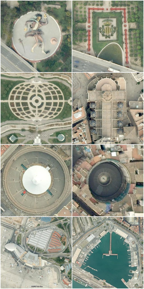
But, while I was flying around Valencia on Google Earth, I took the opportunity to make a few shots of some cool sights. Do you know what all these are?
Maybe its the images on google maps they have updated rather than on google earth? I just checked my flat and I am sure you can zoom much further down with the satellite view than before (tho I could be wrong). The bioparc is under construction in those images it seems.
Just a thought 🙂
I think Google Maps and Google Earth are the same I think… I agree quality now is much better and the images have been taken in a different angle than before. You can see now more of the sites of building.